Precise geospatial data annotation and labelling for AI/ML models — point cloud classification, image segmentation, object detection, and semantic labelling at scale.
Who We Are
Elistar Geomatics is a premier geospatial solutions company delivering precision GIS, remote sensing, and spatial data analysis services across 21 industry sectors. We transform raw spatial data into actionable intelligence.
Our multidisciplinary team combines deep domain expertise with state-of-the-art technology — including LiDAR, drone surveys, 3D modeling, and web GIS platforms — to power smarter decisions for government, enterprise, and development projects.
LiDAR & Point Cloud Processing
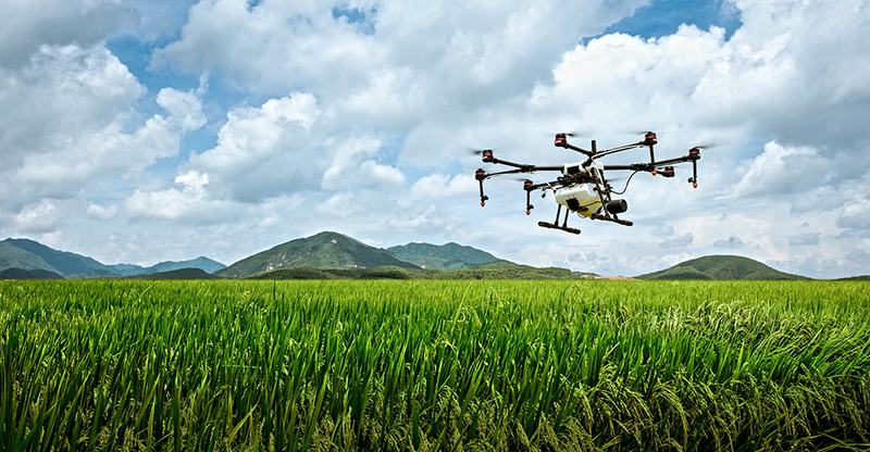
Drone Aerial Surveys
Satellite Image Analysis
3D Building & BIM Modeling
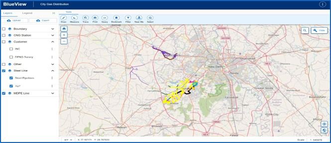
Web GIS Platform Development
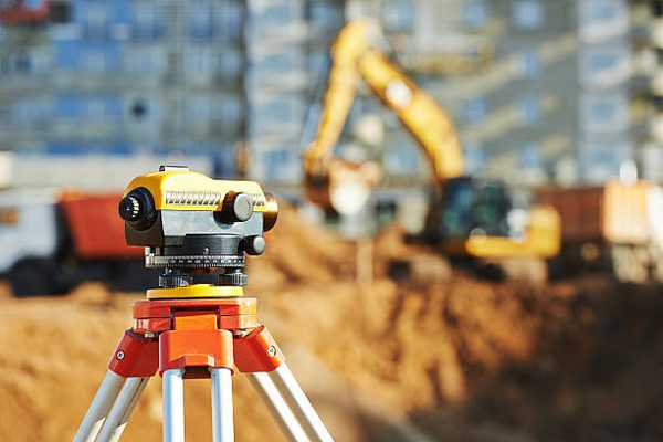
Ground Control Surveys
From satellite imagery analysis to precision field surveys, we deliver actionable geospatial intelligence across every industry domain.

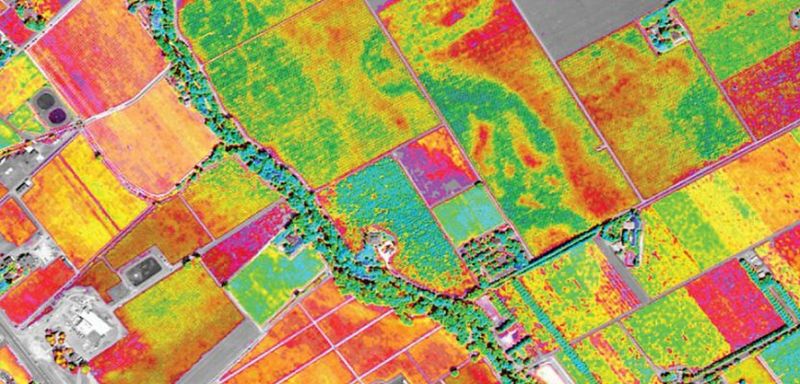
Precision farming, yield estimation, soil health mapping, and pest & disease detection using drone and satellite imagery.
Learn More
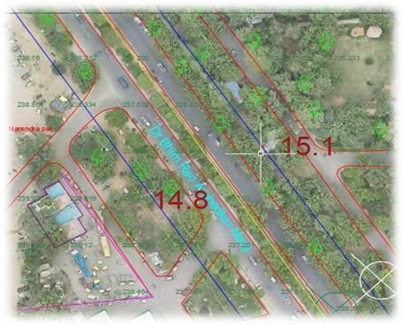
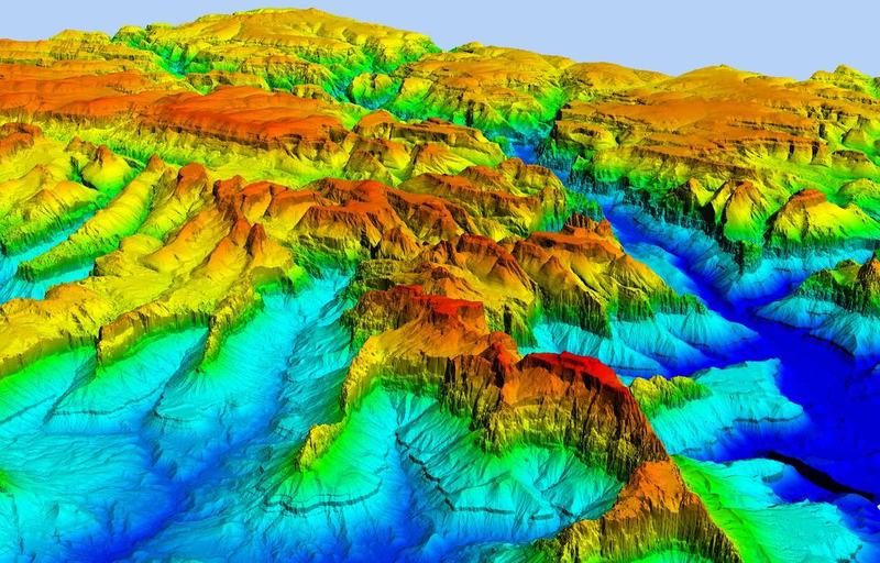
High-density 3D terrain and infrastructure mapping using mobile and aerial LiDAR for engineering and planning.
Learn More
Digital cadastral mapping, LULC analysis, urban sprawl monitoring, and land parcel boundary demarcation.
Learn More
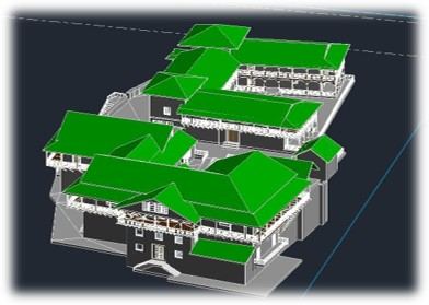
Photogrammetry-based 3D building models, digital twins, and BIM services for infrastructure and heritage sites.
Learn More
UAV-based topographic surveys, photogrammetry, orthophoto generation, and corridor mapping for roads and utilities.
Learn More
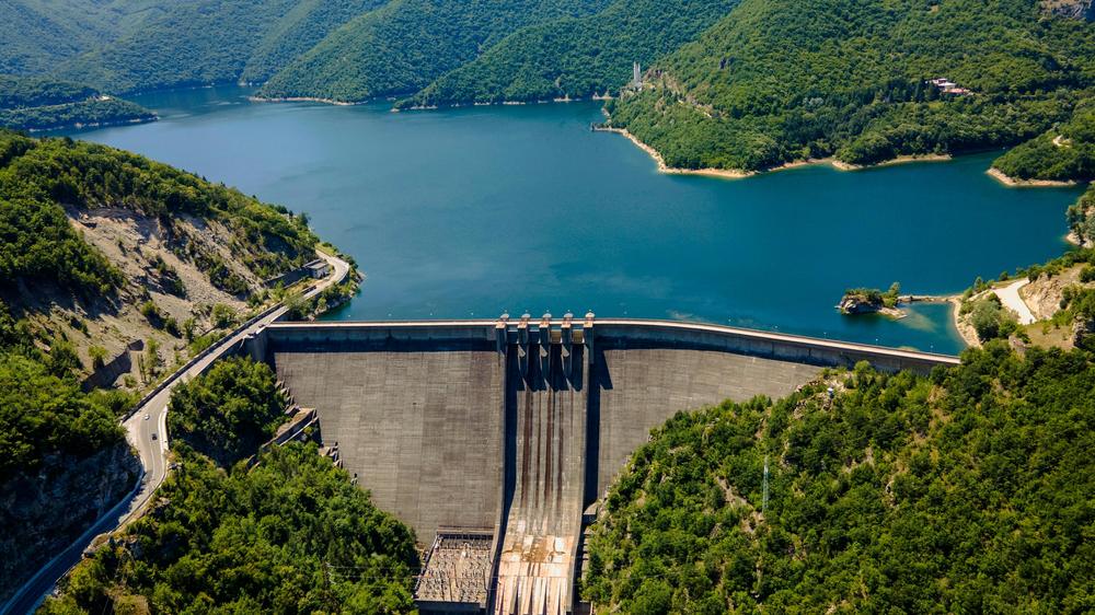
Watershed delineation, flood modeling, groundwater potential mapping, and irrigation planning using spatial data.
Learn More
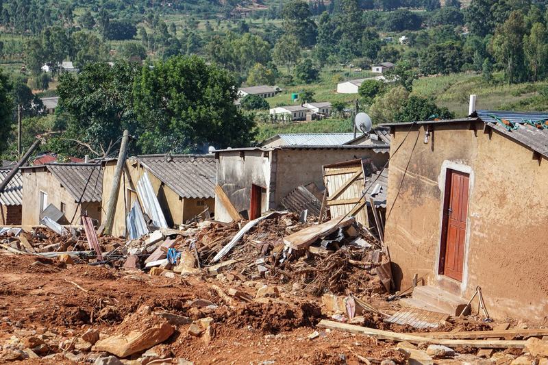
Earthquake and landslide susceptibility mapping, flood and drought risk assessment, and emergency response planning.
Learn More
Vehicle-mounted LiDAR and imaging systems for road asset inventory, infrastructure inspection, and urban surveys.
Learn MoreOur Work
Industry Coverage
Our geospatial expertise spans a comprehensive range of industries — from government and defense to agriculture, health, and real estate.
Why Choose Us
We combine state-of-the-art remote sensing, satellite data, and field-proven methodologies to deliver geospatial intelligence you can act on.
Satellite imagery, drone surveys, LiDAR, and ground-truth data fused into unified, high-accuracy geospatial products.
We don't just deliver maps — we deliver decisions. Every output is designed to solve real-world problems with spatial precision.
From agriculture and forestry to defense and public health — 21+ application domains with proven project track records.
Time-critical projects like disaster response and crop monitoring benefit from our agile, technology-driven delivery workflows.
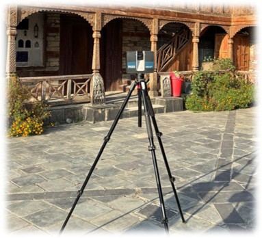
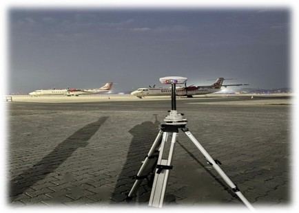
From airport aprons to heritage courtyards — our equipment operates in any environment, delivering centimetre-level accuracy.
Our Technology
Mobile and aerial LiDAR for infrastructure corridors, road surveys, and terrain modeling at centimetre-level accuracy.
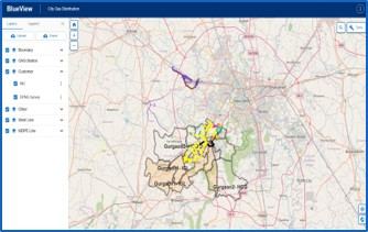
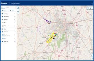
Custom web-based GIS solutions like BlueView — multi-layer, real-time spatial data platforms for enterprise and utility networks.
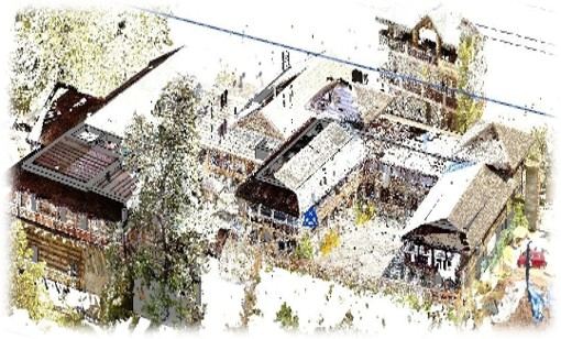
BIM-grade 3D building models, photogrammetric point clouds, and digital twin creation for smart infrastructure management.
DSM/DTM generation, watershed analysis, cut-fill calculations, and flood simulation from drone and satellite data.
Multispectral and hyperspectral analysis — NDVI mapping, land use classification, change detection, and environmental assessments.
Total station, DGPS, and GNSS-based ground surveys for cadastral, construction, and engineering project control networks.