Real-world geospatial intelligence delivered across highways, cadastral systems, 3D reality capture, and AI-powered Web GIS platforms — spanning four continents.
Featured Case Study
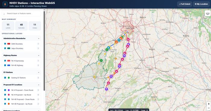
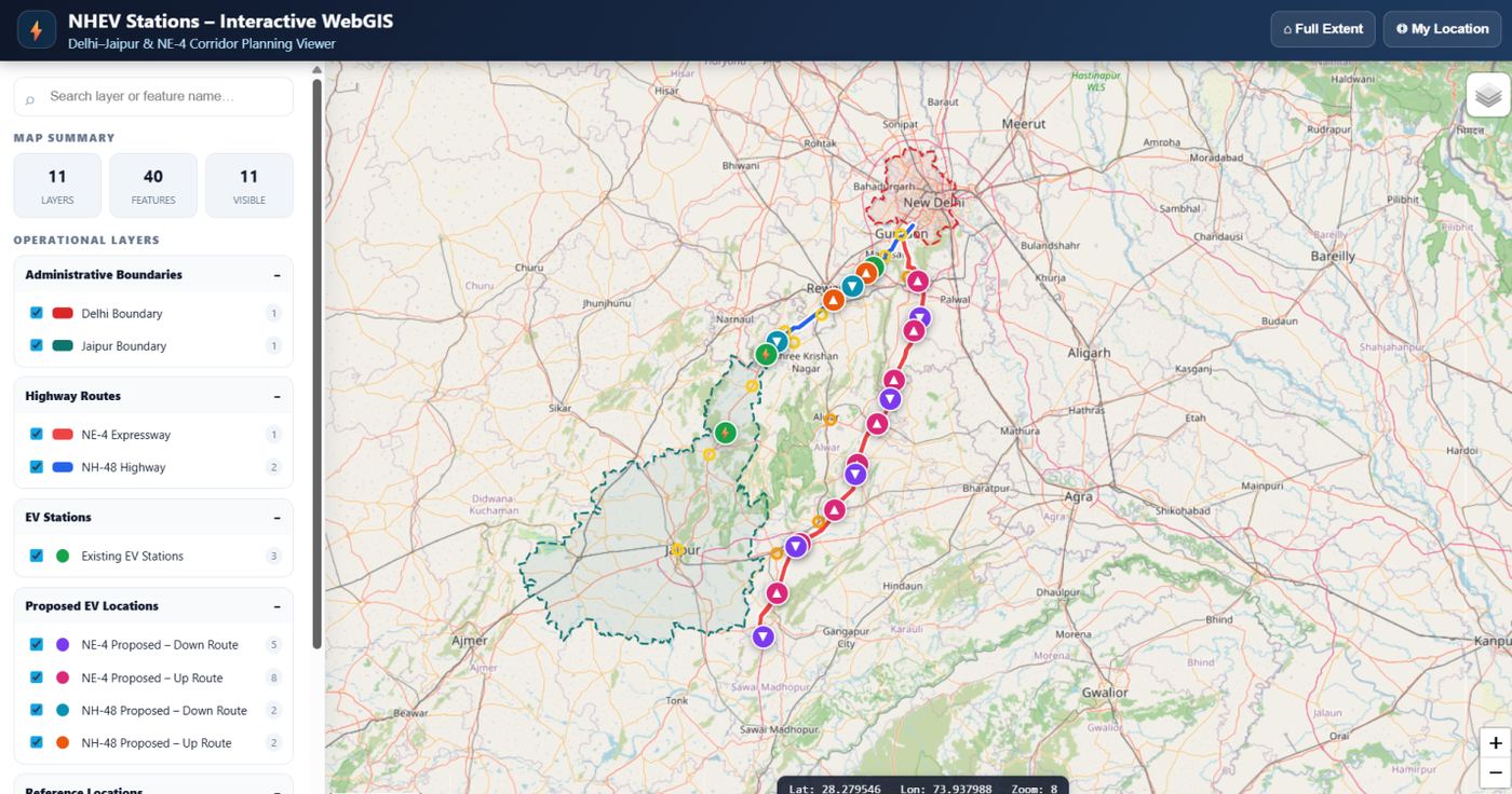
A GIS-based web application built for city gas distribution networks — combining multi-layer interactive mapping, pipeline asset management, and real-time spatial tools for the Gurgaon IGL & HCG zones.
Multi-layer interactive mapping
Steel, MDPE, CNG station layers
Draw, Measure, Query, Filter
Shapefile, GeoJSON, KML support
Gurgaon IGL & HCG zones mapped
Real-time XY coordinates & scale
Smart querying & location bookmarks
Spatial Tools Toolbar:
Draw · Measure · Trace · Query · Filter · Bookmark
Project Gallery
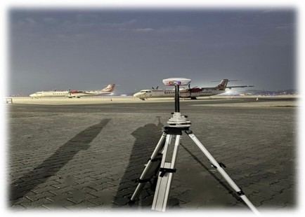
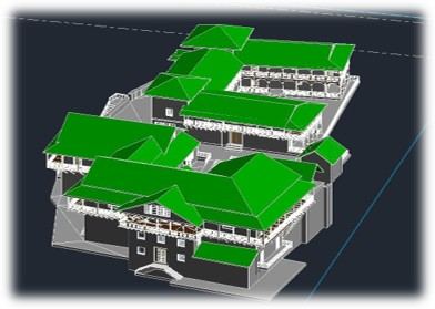
A sample of geospatial deliverables across highways, agriculture, terrain modeling, and heritage conservation.

Vehicle-mounted LiDAR point cloud capture of a national highway corridor — roads, bridges, and signage at driving speed.
Learn More
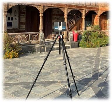
High-density point cloud capture of dense urban infrastructure for digital twin and planning applications.
Learn More
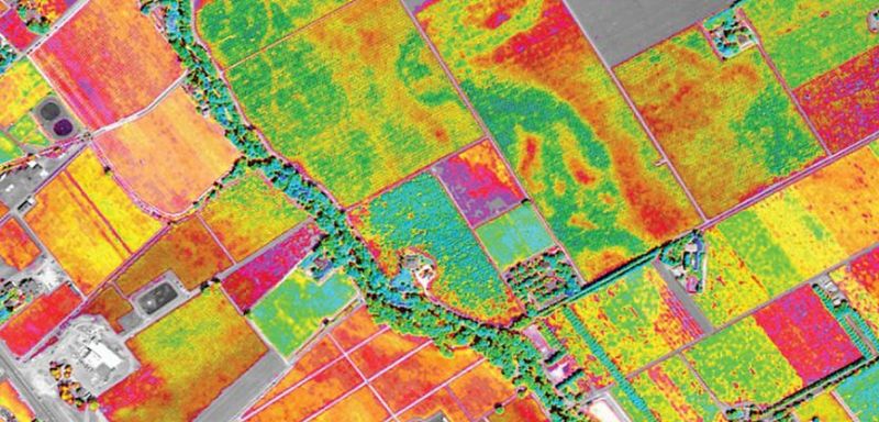
Multispectral remote sensing analysis used for LULC mapping and agricultural land monitoring.
Learn More
Drone-based photogrammetric mapping for road design planning and right-of-way boundary marking.
Learn More
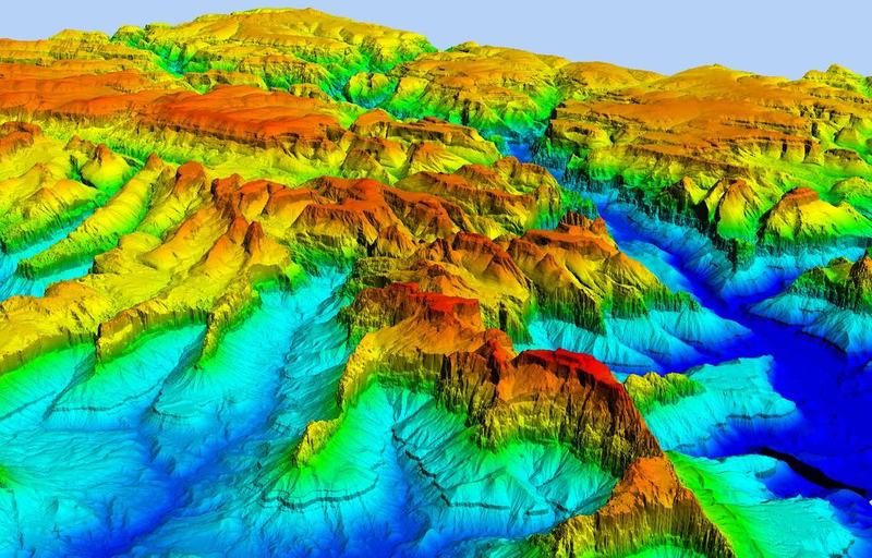
Digital Elevation Model generation supporting hydrological mapping and flood-risk analysis in the Middle East.
Learn MoreEnd-to-End Capability
Elistar Geomatics delivers end-to-end geospatial intelligence — from field capture to web-based dashboards and AI automation.
LiDAR, DGPS, drones & satellite
Cadastral, LULC, proximity & utility
LOD 200/300/400 & digital twins
Interactive portals & KPI panels
Batch processing, QA & reporting
Feature extraction & prediction
One Partner. Full Pipeline. From Ground Survey to Web Dashboard to AI Insight.
Worldwide Reach
Elistar Geomatics delivers geospatial solutions across India, USA, Middle East, Australia, and the Netherlands.
🇮🇳 India
🇺🇸 USA
🌍 Middle East
🇦🇺 Australia
🇳🇱 Netherlands
Our Edge
Proven delivery across India, USA, Middle East, Australia, and Netherlands — with diverse domain knowledge across industries.
From field data capture with LiDAR and DGPS to analysis, 3D modeling, and web visualization — one partner for the full pipeline.
Data annotation, LiDAR classification, and AI model integration position Elistar at the frontier of intelligent geospatial services.
Centimeter-level GPS accuracy, LOD 400 modeling, and rigorous QA processes ensure outputs meet the highest international standards.
Upcoming drone sales, Web GIS portals, and real-time data sync signal a commitment to next-generation geospatial technology.
Infrastructure, insurance, microfinance, heritage conservation, urban planning, oil & gas — proven capability across sectors.